
Amazing Rugged Landscape
Castle Valley is an area of natural beauty in the wilderness of the American west that will astonish you
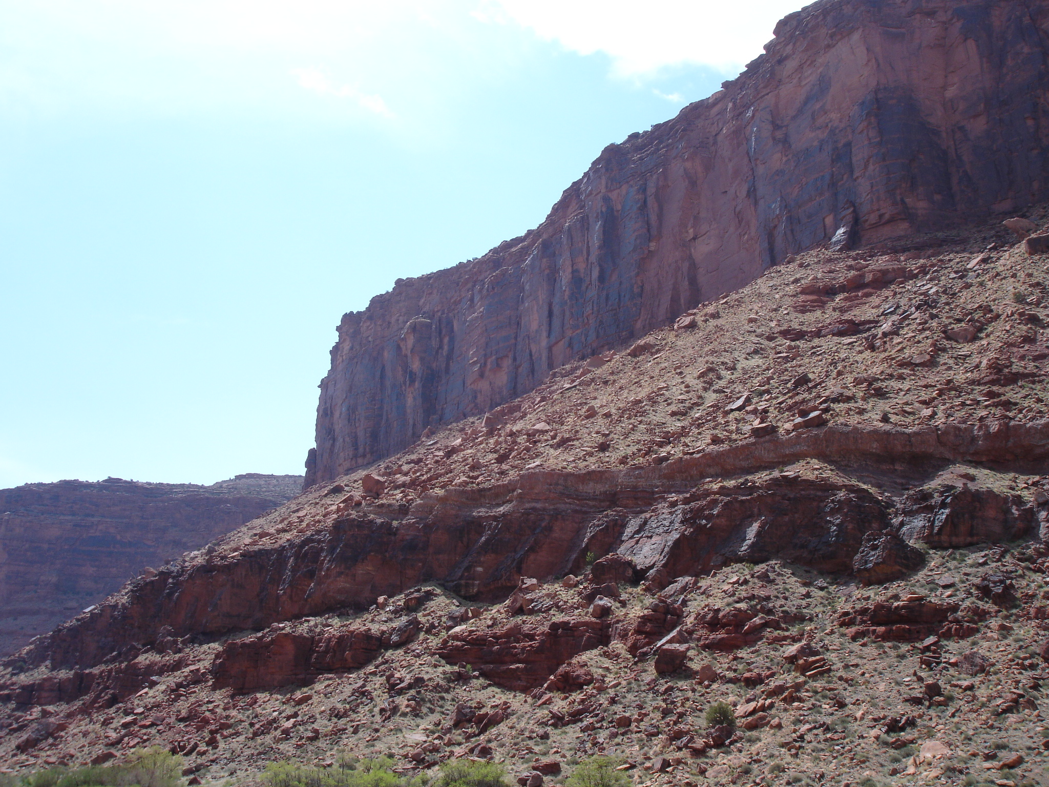
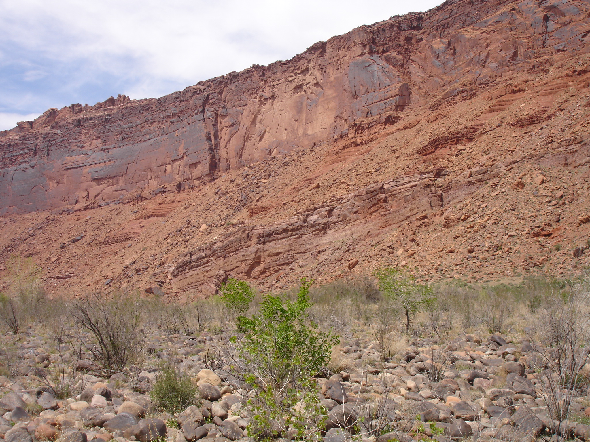
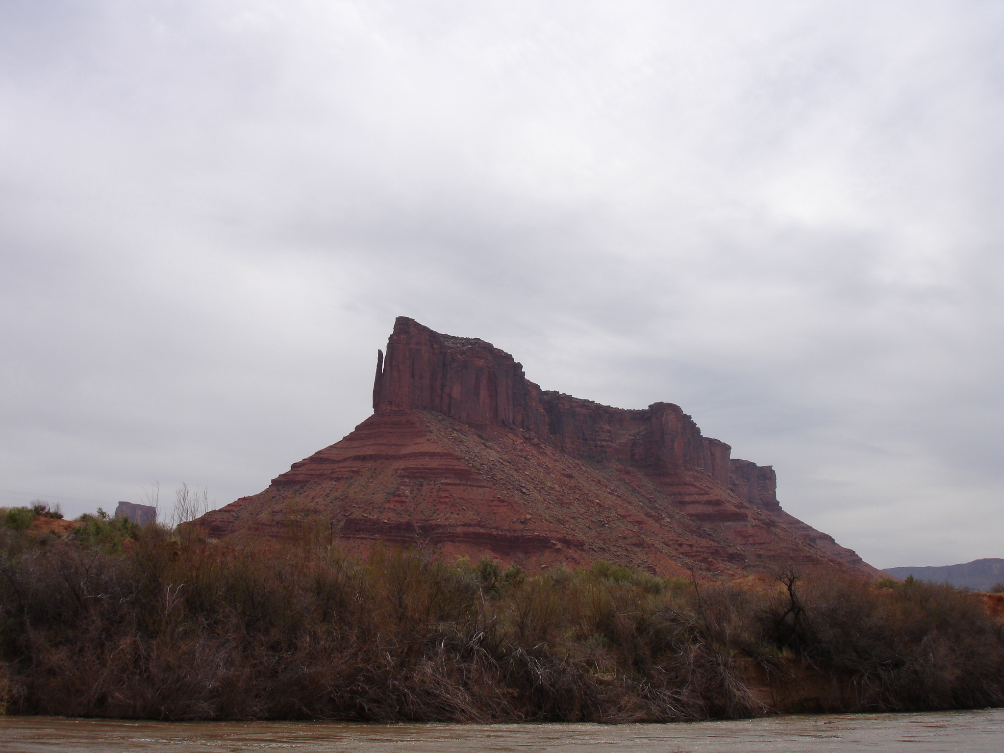
Castle Valley is located about 32 km (20 miles) north of the city of Moab in Utah and is based on the Colorado Plateau. It’s an area of fantastic natural beauty with a landscape of magnificent buttes, mesas towering spires and massive rock walls. Castle Valley is a bit of an underdog in comparison to some of the nature preserves in lower Utah such as Monument Valley, Zion National Park and Arches National Park but it is definitely in the same category and should be on your list if you are in the area.
Geology: Creation of the Valley and the Towering Rocks
From the Cambrian period (485-541 million years ago) to the late Cretaceous period (66-145 million years ago), North America had not yet been separated into its own continent and the position of present day Utah was near the equator. It was also at or near sea level with rock mostly consisting of sandstone and limestone deposited in a shallow marine environment. The neighbouring Uncompahgre highlands to the east were uplift four different times during this period, which provided a rich sediment source.
Castle Valley is one of several so-called salt valleys which is a unique feature among the canyons in Utah. During the Pennsylvania period (299-323 million years ago) the Paradox Formation, consisting of crystalline salt, was deposited due to several episodes of encroaching inland seas. The salt layers were buried and the compression resulting in the salt to flow. It would encounter previously formed ridges, flow upwards to the surface and salt domes were created.
When the Colorado River began to carve its way through the overlying rock layers, it would reach the salt domes which dissolved and was carried away. The overlying rock would then settle lower and lower resulting in the formation of the valleys. Salt domes are still present today under the surface and in some places they are up to 4.3 km (14,000 ft) thick.
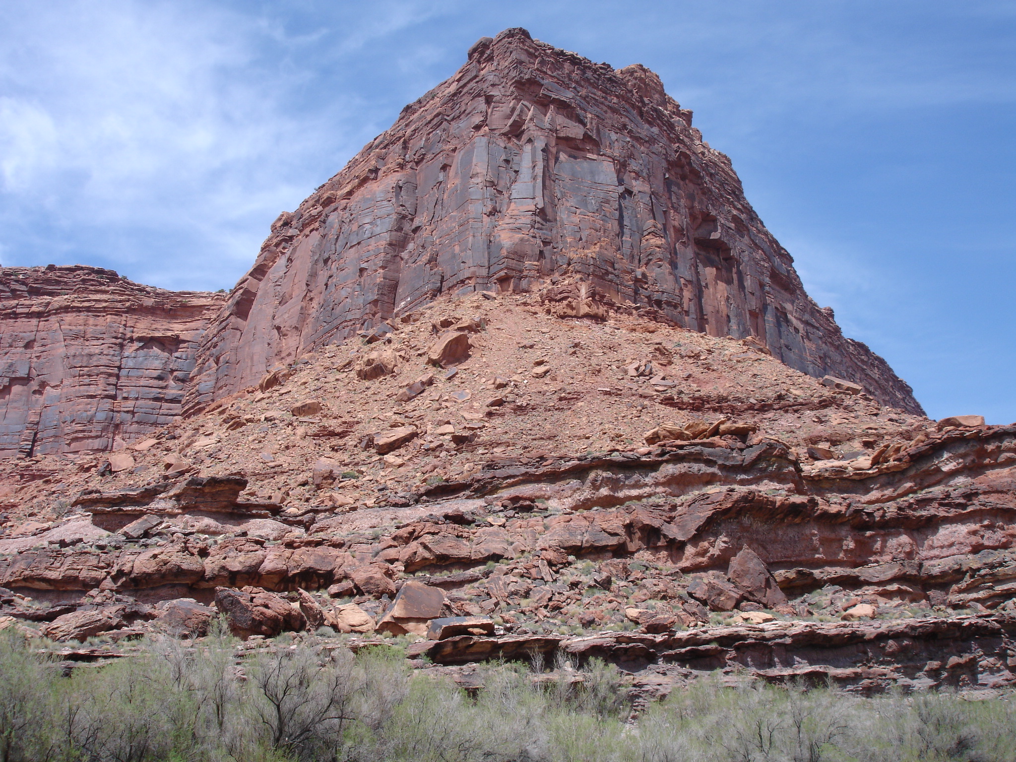
Most of the arches in Castle Valley are of the Wingate, Navajo and Entrada formations from the late Triassic and early Jurassic periods. The most famous buttes and spire such are the Priest and Nuns, Castle Rock and Castleton Rock are formed of Wingate Sandstone.
In the late Jurassic period (146-200 million years ago), North America separated from Europe which caused some tectonic activity leading to significant deformation and uplift in the area. The Laramide orogeny was a period of mountain building in western North America during the late Cretaceous period 35-55 to 70-80 million years ago. During this period, the Rocky Mountains were formed and the Uncompahgre Uplift rose again. 24 million years ago the La Sal Mountains were created southeast of Castle Valley, which had not yet been formed.
10 million years ago, the entire area from the Sierra Nevada Mountains to the eastern edge of the Rocky Mountains were subject to gradual massive uplift. The Colorado River, which had previously flown across mostly flat terrain in large meanders, now began to carve its way into the sandstone layers because of the elevation change. The rise was fast enough to make the meanders entrenched which resulted in the deep massive canyons we see today
History: The Indians and the Settlers
Fremont and Ute Indians occupied the area and significant portions of eastern Utah long before the settlers arrived in Castle Valley. The Utes were never a unified group but instead they consistent of many different nomadic bands and maintained close relations with other neighbouring groups. Unlike other Indian tribes in the area, the Utes have never had a tradition or historic evidence of migration to the present day Utah and Colorado. Ancestors of the Ute appear to have lived in the area for at least a thousand years.
The Utes’ experience with the European settlers was similar to the one of many other Indian tribes. There was competition, confrontation and forced relocation to reservations. One of the conflicts was the Black Hawk War from 1865-72.
The actual reason for the Black Hawk War is not completely certain due to the lack of historical records but stories and opinions have been passed on by both the Indians and the settlers. It is said that it was not one particular event that led to the conflict but several. This seems to be a common consensus on both camps. Both the settlers and the Ute wanted the land.
They had lived in harmony since the Mormons arrived at Manti and in the Sanpete Valley in 1849. But the Timpanogos Ute had gradually been pushed aside by the settlers’ demands for grazing for their cattle and their need for farmland which had led to frustrations on both side and several of conflicts prior to the Black Hawk War in the 1850s.
The Utes were forced out of their traditional hunting and foraging areas by the Mormon towns, farms and livestock. They were therefore struggling to feed themselves and stole cattle to survive. The two cultures could no longer live side by side.
It was in a way ironic that on the very day that Ulysses S. Grant and Robert E. Lee signed the paper to officially end the Civil War on 9 April 1865 in the east, the Black Hawk War broke out in the west. It wasn’t as brutal as the Civil War, but it was the longest, most costly and bloodiest war in Utah history. It was especially intense from 1865-67.
Battles took place at Nine Mile and Sanpete, many cattle and horses were stolen and there were several casualties on both sides. It was estimated to have been around 150 battles, skirmished, raids and military engagements between the members of 16 different tribes of Ute, Paiute, Apache and Navajo against Mormons and other settlers around central and southern Utah.
The consequence for the Mormons was that some of their settlements in the area were abandoned or postponed. But the war actually did have unforeseen consequences for the region. As the Utes were chased into what was unexplored territory for the settlers it helped them to find new areas for settlements. The ranchers could freely take up land far away from populated areas without the fear of being attacked as the Utes had been chased away. They were forced into a reservation and promises given to the Utes in treaties were largely ignored, but the terms with regard to restricting the Ute were enforced.
History: The Settlers and Ghost Towns
Many of the towns established in the 1800s were short-lived, some disappeared and some are now ghost towns. Castleton was gold placer mining camp from the 1860 and was settled by a prospector by the name of Doby Brown around 1880 and by 1882 enough settlers had gathered to establish a post office.
In 1888, Castleton became an important supply town when the gold rush hit the neighbouring town of Miner Basin. By then Castleton had a general store, a hotel, two saloons and several other businesses. At its peak in 1895, the population was bigger than in Moab and in 1890 when Grand Country was organised, Castleton challenged Moab to become the county seat.
By the “Panic of 1907” the mines of the area closed down and within a short period, only the ranchers were left. The “Panic of 1907” was a financial crisis on Wall Street in New York which happened over a period of three weeks. The New York Stock Exchange fell by 50% in comparison with the peak of the previous year and this was already during a recession. It spread over the whole nation as many businesses and state and local banks went bust.
By 1910 the business were gone leaving only a post office and 50 residents and by 1930 this had dropped to 6. A few people stayed in this dead town for decades but by 1967, Castleton was officially vacated by the country commission.
Copper was discovered at the neighbouring Miners Basin in 1888, but a mining town as such was not established before 1898 as a company town for the workers of the Miner Basin Mining District. From 1896-1995 the town had a population of 75-80 and businesses including two saloons, a blacksmith, a hotel and a post office.
The copper production didn’t last long and when it stopped the residents moved to other towns. By 1908 only six or seven families were left. Today it’s a ghost town and some buildings and the mines still remain. Most of the area is on private property by you can access it by a 2WD vehicle. If you go, you will see some of the old abandoned cabins, the mine and mining remnants.
Visiting Castle Valley
There are several ways you can explore Castle Valley. Some people like doing rock climbing and if you mount some of the rocks you will get some amazing views of the rock up close and the surrounding areas.
When you are exploring the areas around Castle Valley it’s a great option to stay in Moab. There are different types of accommodation here. You could camp or stay at one of the hotels. If you are staying Moab you will be spending your time in a cool little town in the Wild West which is a nice experience. Furthermore, this is a good base to check out a lot of the different nature preserves in the area such as Arches and Canyonlands National Park as they will be pretty close by as well.
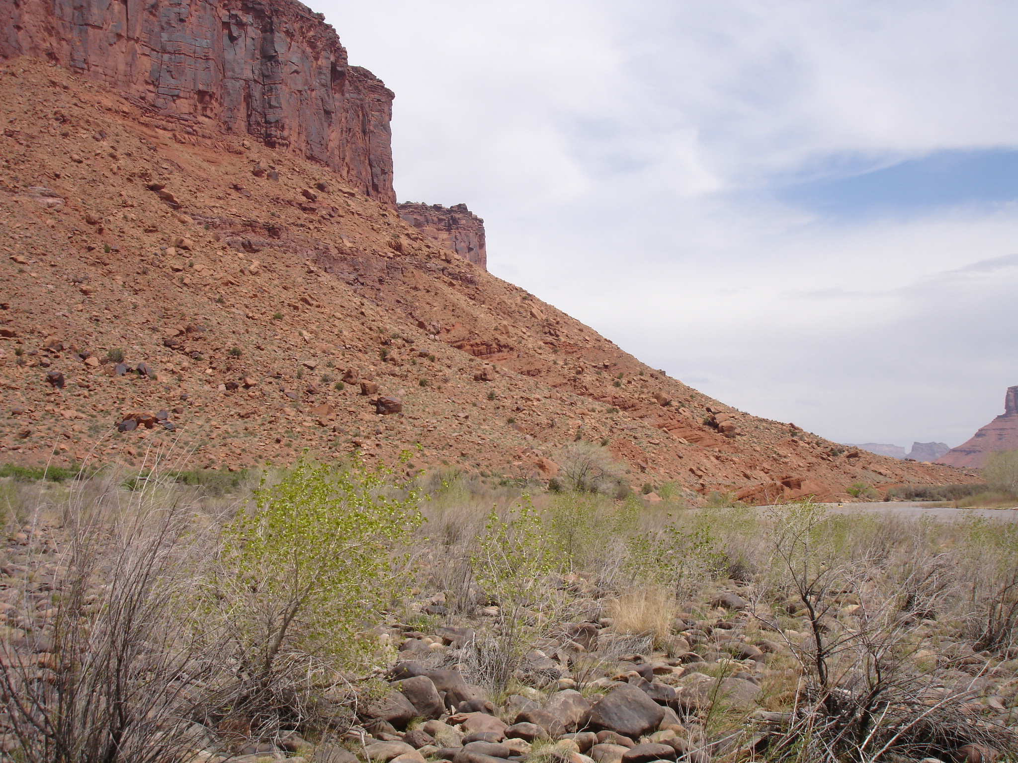
Moab is the nearest major town, located about 32 km (20 miles) from Castle Valley. If you are heading towards Castle Valley from Moab you have to drive north on the River Road (SH 128) and then down via Castleton Road. Going on this road up to the valley is a pretty scenic ride. Bear in mind that there is a difference between the town of Castle Valley and Castle Valley itself which is where you will find the stunning natural landscape.
Rafting on the Colorado River
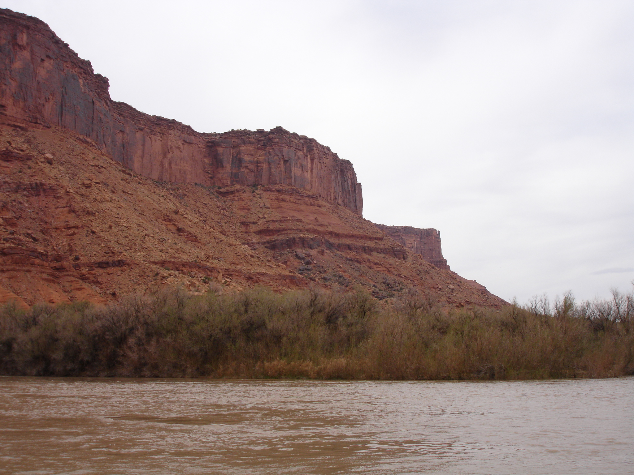
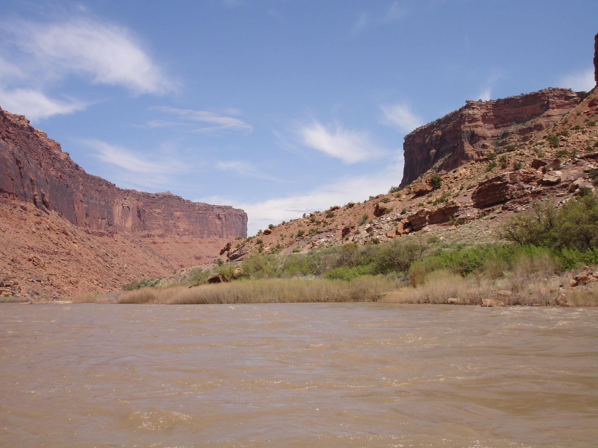
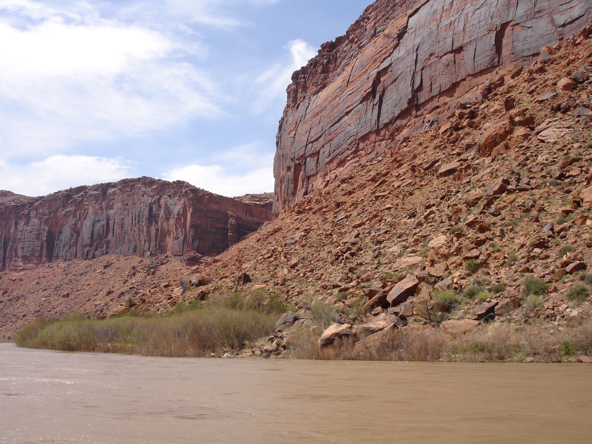
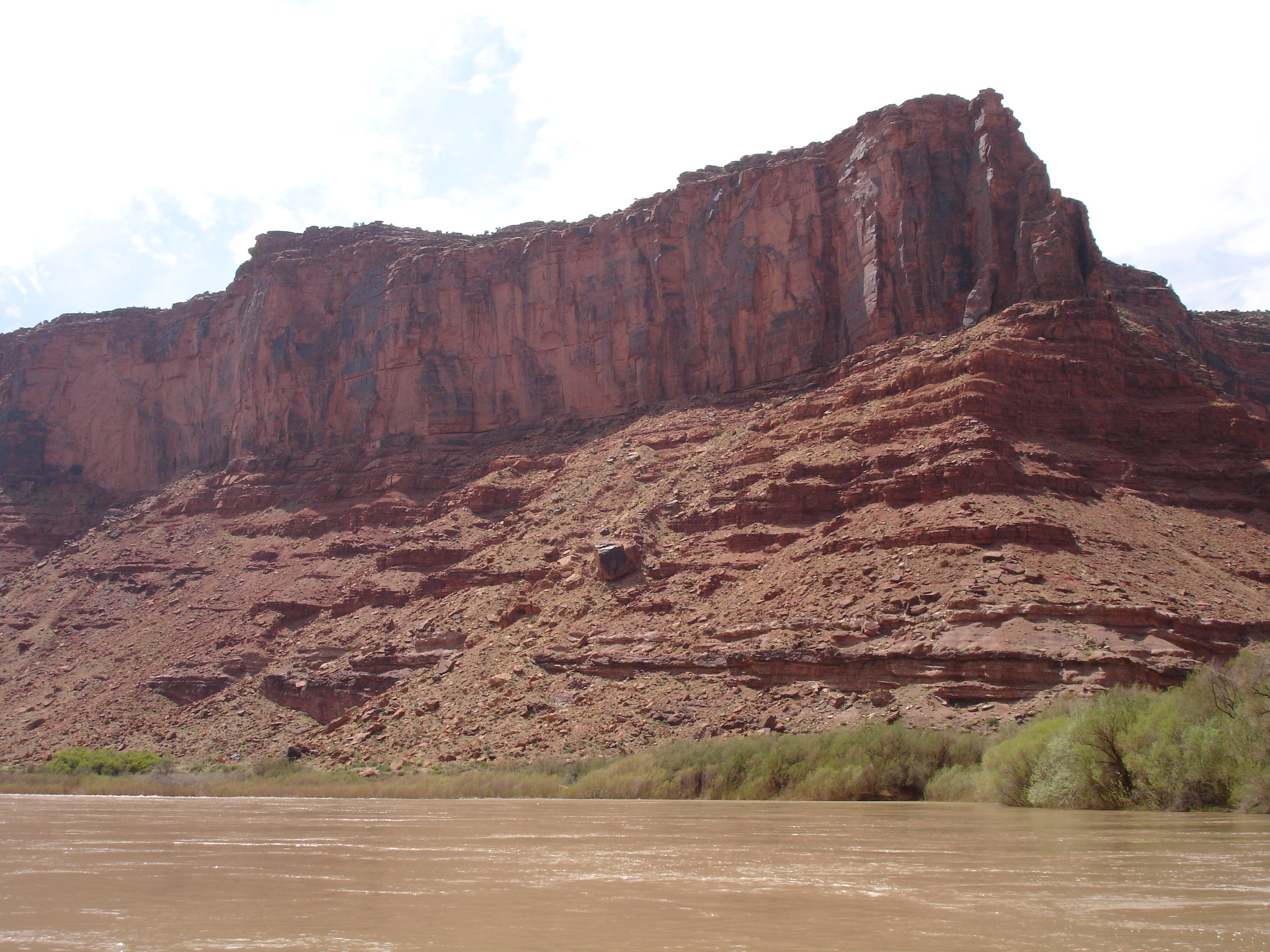
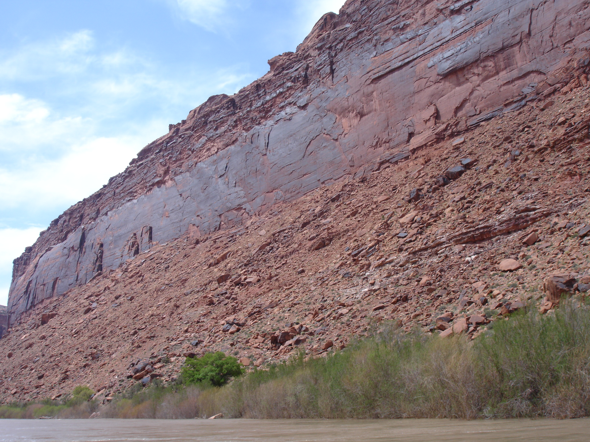
Another cool option is going rafting on the Colorado River which carves itself through the area. This will just be rafting and not white water rafting so if you the latter is too adventurous for you, don’t worry. If you are the adventurous type it will still be great fun as you have the opportunity of floating down the awesome Colorado River. You have to be a little bit careful as it can get a bit bumpy and fast at times but there will be plenty time to sit back and enjoy the ride and the amazing scenery of tower rocks. Take it easy and take some great shots of the scenery.
If you are going rafting you have to join an organised tour. Each raft has a tour guide who will be rowing and steering along. So you just have to make sure you are positioned well to have a great time. At the departure point you will have an opportunity to check out the valley, the buttes and spires and take some pictures. Once you are on the river the scenery will be mostly of the river and the surrounding towering rocks which is stunning.
If the tour leaves in the morning, a lunch break will most likely be included on shore at a sandy bank. Here you will also be able to have a stroll around or you could have a sit down are check out the scenery. This is yet another great spot to take some photos. As the tour continues you will be met by more fantastic towering rocks as you continue down the river to the point where the excursion terminates. If you joined the tour in Moab you will be going on a transfer back from this spot.
The Magnificent Buttes, Mesas and Towers
The area is a pretty sought out spot for rock climbing and Castleton Tower is by far the most popular to mount.
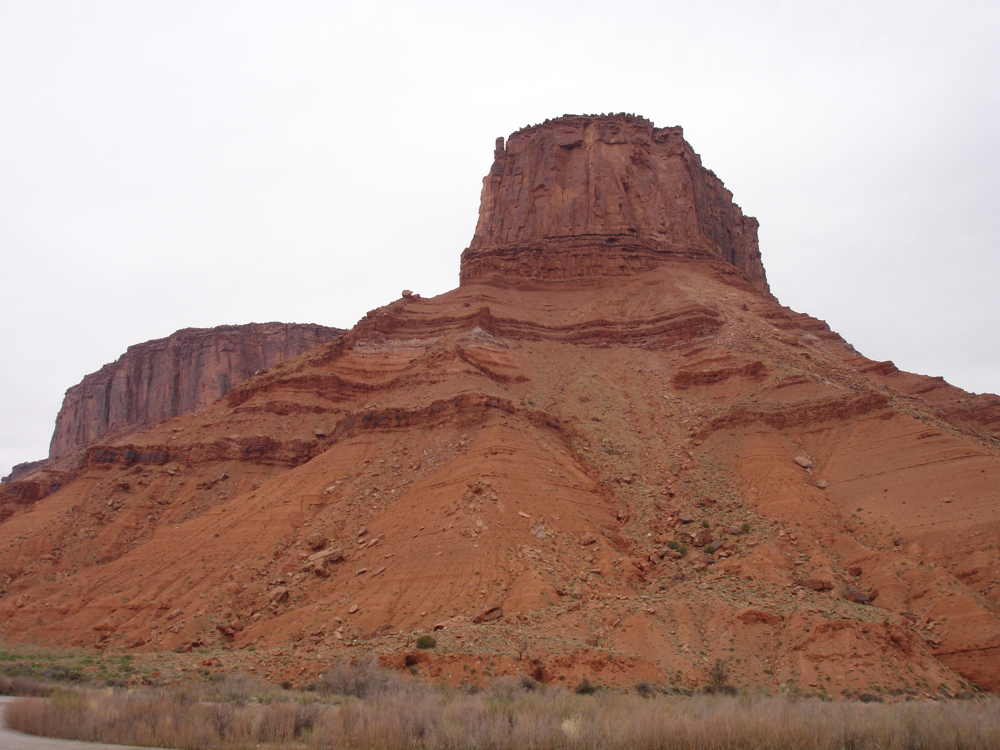
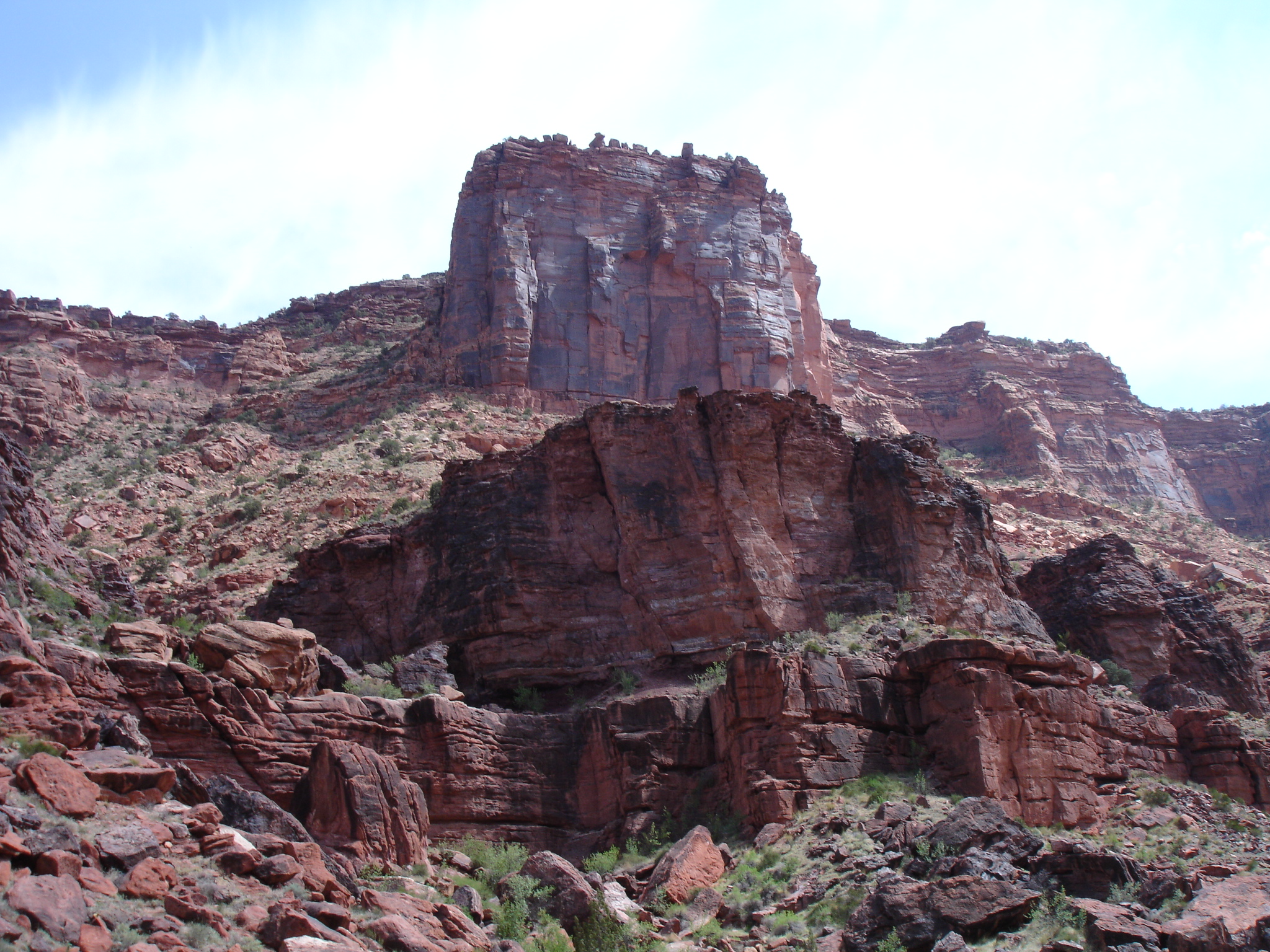
Castleton Tower one of the most intriguing formations in Castle Valley. It’s a 122 metre (400 ft) tall Wingate Sandstone spire based on the top of a 305 metre (1,000 ft) Moenkopi-Chinle cone. Castleton Tower is based at the end of a ridge consisting mostly of scattered boulders, gravel and sand. The ridge is about 850 metres (2,800 ft) long and at the opposite end of the ridge the butte by the name The Rectory is located.

The Rectory is sometimes also referred to as The Priest and Nuns, but this actually rather applied by specific formations connected to or in the structure. The Rectory is approximately the same height as Castleton Tower but is much larger.
The Rectory has also been nicknamed Bon Jovi Rock as Jon Bon Jovi filmed the video for his 1990 hits “Blaze of Glory” from soundtrack to “Young Guns II” on top of the Rectory. This has been the subject to some criticism as old used cars, old 50’s era drive-in movie theatre sets and other equipment had been hoisted by a helicopter to the top of the rock for the video. It is debatable whether this showed this area of unique the respect it deserves.
The Rectory is narrow butte with a 122 metre (400 ft) steep rock wall. The aforementioned Castleton Rock is based down the ridge to the south and continuing up the ridge to the north, the big mesa called the Convent is located. The Sister Superior group is also found on the ridgeline.
There is a hiking trail leading up to these towering rocks. To get here by vehicle you have to turn from the SH 128 onto the Castle Valley Road. After about 7 km (4.5 miles), turn left onto an unmarked dirt road, drive a bit down here until you get a boulders barricade on the road. There will be a sign as well and you can park you vehicle here. This is where the trailhead is based.
The trail will go along the bottom of the valley. You will get to the top of a minor hill and you will see the base of the talus cone of Castleton Tower. Continue onwards and you will pass the lower rock band of the talus cone, then to the second rock band beneath Castleton Tower. Just beneath the rock band you will turn left onto the Castleton-Rectory saddle which is a faint trail. The trail continues on this upper rock at constant elevation. It cuts beneath the base of the Castleton Tower and heads for the saddle which follows towards the Rectory. The hike will take about an hour.
Camping is allowed in the area. Just bear in mind that there are no water sources in the backcountry so bring plenty of water. There are campsites near the trailhead and at the second dirt road from the Castle Valley Road.
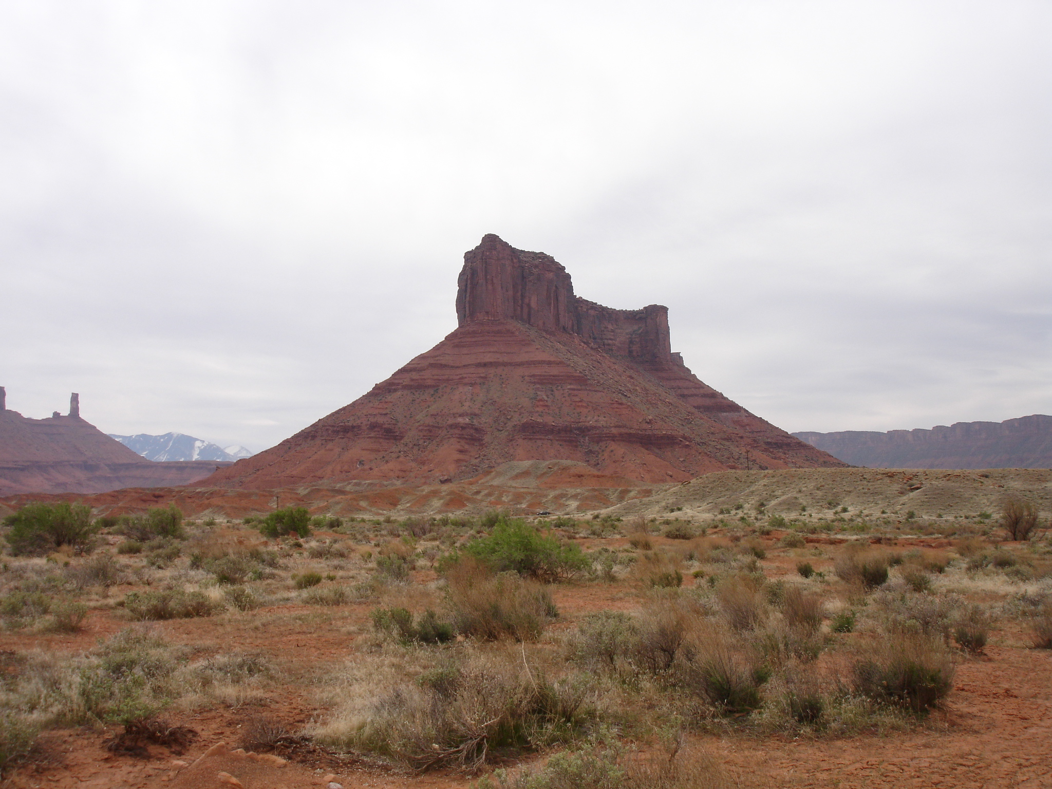
Parriott Mesa can be seen from SH 128 as you drive north. The mesa is about 2 km long (1.3 miles). It’s pretty narrow and the width varies from 107-244 metres (350-800 ft). The walls are about 122 metres (400 ft) steep and the highest point is on the southwestern corner.
Preservation of Castle Valley
A lot of the land in Castle Valley is or has been owned by Utah’s School and Institutional Trust Lands Administration (SITLA). This is a trust that leases and auctions out land to private interest in order to fund Utah schools and related state institutions. During the spring of 1999, SITLA auctioned of about 0.73 km2 of land to the private land-developer from Aspen, Colorado and a local partner who wanted to create lots and residential housing. This would have eliminated the camping ground of Castleton Tower and reduced the access to its base.
In response, the Castleton Tower Preservation Initiative was formed to prevent commercial development and over the following two years, enough money was raised to save 0.89 km2 of land that encompasses Castleton Tower. The land was bought of the developers and is now protected and run by the non-profit organisation Utah Open Lands.

Prior to that, Utah Open Lands had also purchased 0.24 km2 of land around Parriott Mesa in October 2000.
According to Utah Open Lands, their mission is to “protect open space in order to maintain Utah’s natural heritage and quality of life for present and future generations”. When you love the wide open ranges, the remote and unspoiled nature you really have to be grateful that organisations exist that will prevent commercial interests from spoiling this nature that can never be rebuilt. It’s a bit of a mystery why Castle Valley has not been turned into a nature preserve such as a national or a state park as it is so uniquely beautiful. But thanks to people who are passionate about the nature, parts of Castle Valley are now protected.